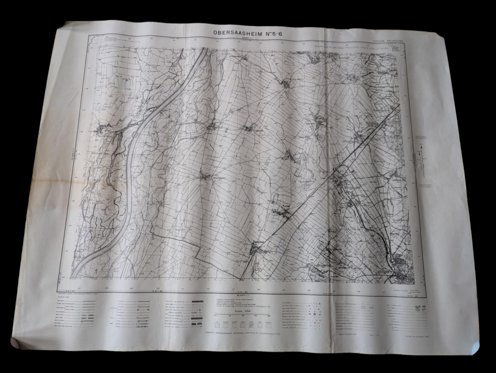
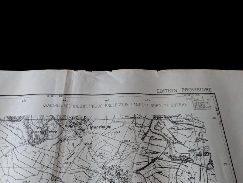
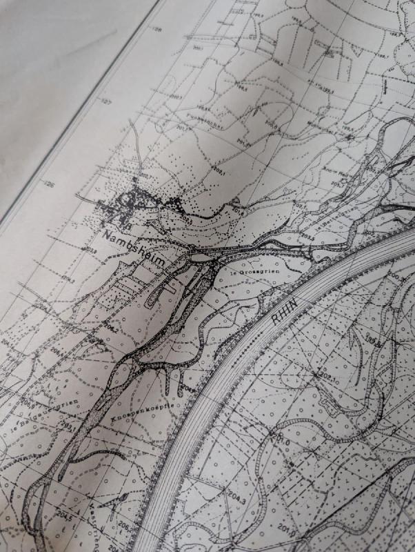
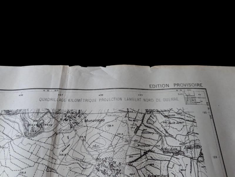
Carte Frontière allemande armée Libération 1944 / French ww2 map
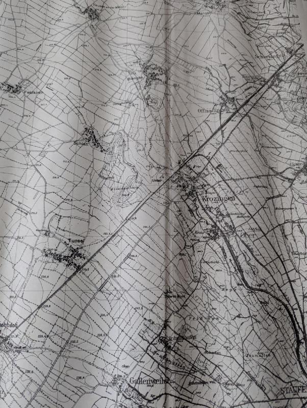
Carte du secteur de Mambsheim en Alsace, du coté de Neuf-Brisach, Colmar
avec toutes la frontière allemande
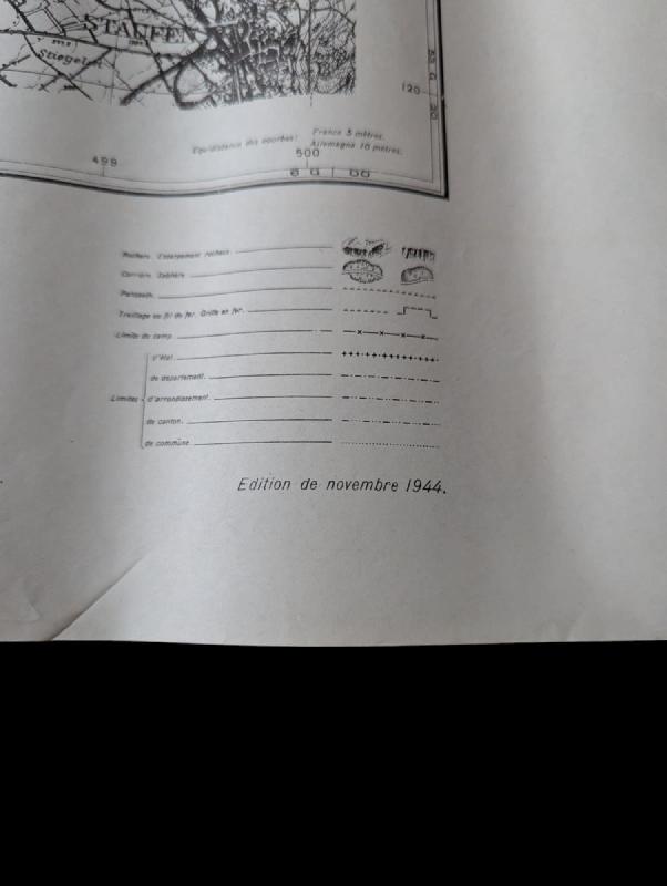
carte éditée en Novembre 1944 pour les troupes Françaises de Libération
Map of the Mambsheim sector in Alsace, near Neuf-Brisach and Colmar, showing the entire German border.
Map published in November 1944 for the French Liberation troops.
.
€ / 50 €
Ajouter au panier
Page précedente/Previous page