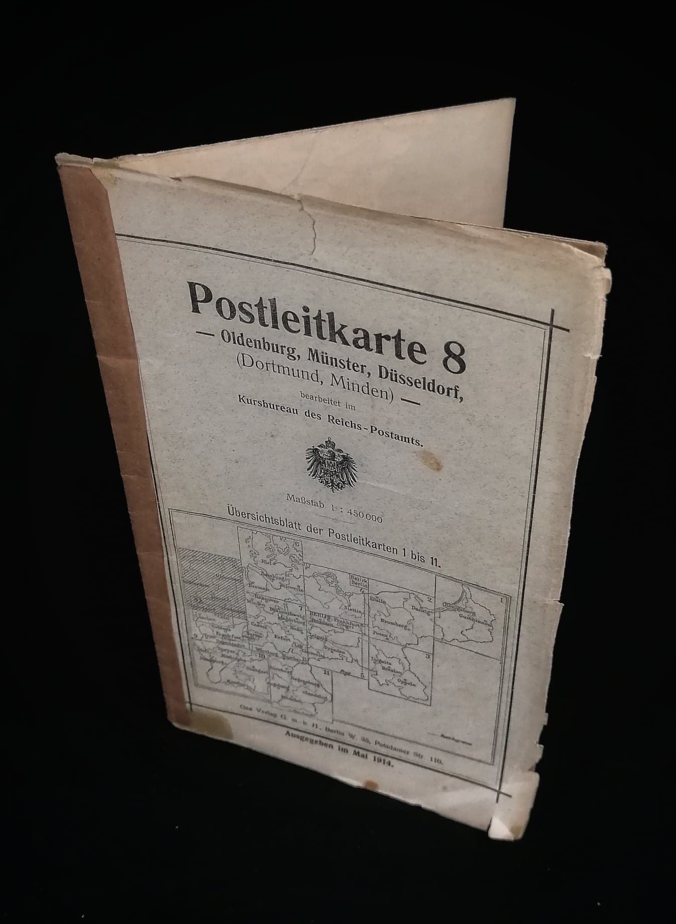
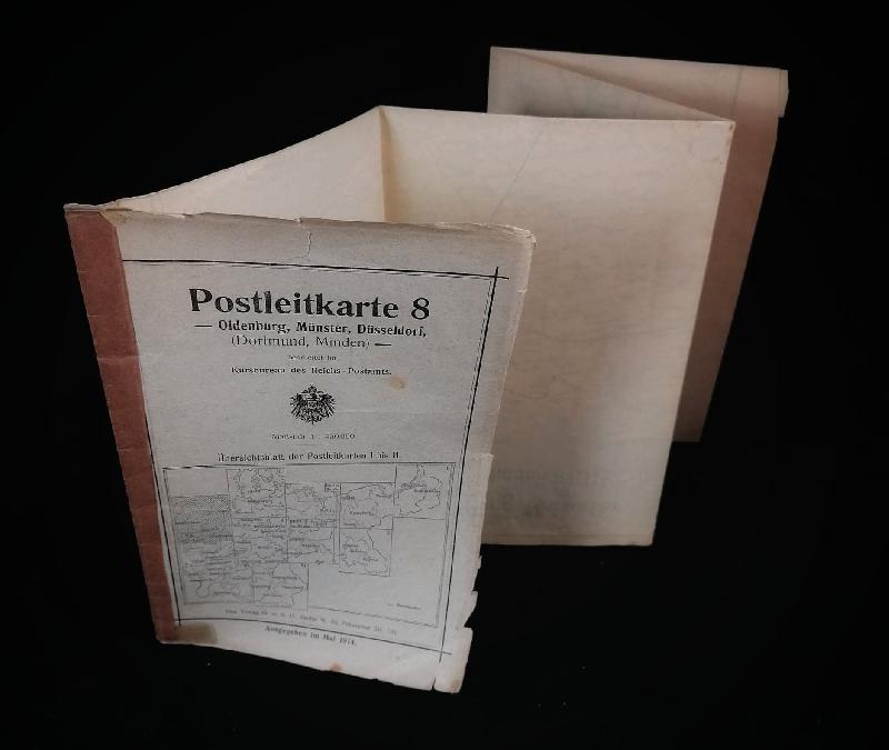
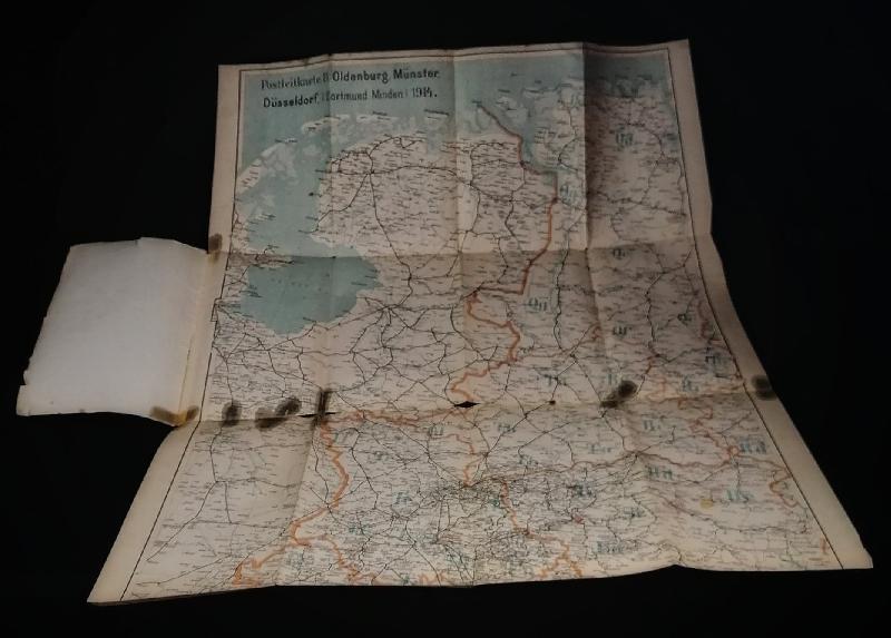
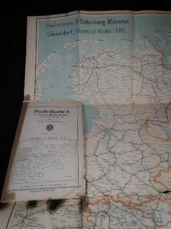
Carte Allemande 1914 Dortmund / ww1 German Map 1914 Dortmund
Carte allemande de la région de Dortmund et Minden
datée de mai 1914
quelques tâches noires visibles sur photo
dimensions : 71x57cm
German map of the Dortmund and Minden area
dated May 1914
Some black spots visible on photo
Dimensions: 71x57cm
.
15 € / 10 €
Vendu/Sold
Page précedente/Previous page